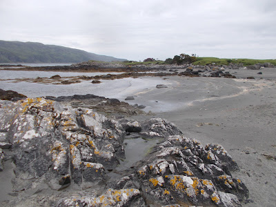
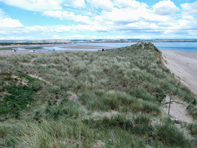
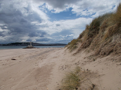
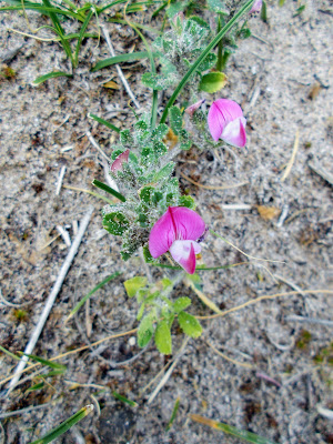
Eilean an Fheior 2 is a small uninhabited tidal island located to the south of the estuary of the River Aros and off the east coast of the Isle of Mull. It is covered in grass and when I visited in mid June 2021 silverweed, iris, tormentil, bedstraw, thrift and iris were all in flower on the island. The island is visited by ducks and greylag geese.
Wednesday, 1 September 2021
Island 495 - Eilean an Fheior 2, Aros, Mull
Sunday, 29 August 2021
Island 494 - Eilean an Fheior 1, Aros, Mull
Eilean an Fheior is a small uninhabited tidal island located to the south of the estuary of the River Aros off the east coast of Mull. It is a few metres to the south of Sgiath Ruadh. When I visited on a sunny afternoon in mid June 2021 the island was covered in silverweed, bird's-foot trefoil, buttercups and parsley water dropwort, all of which were in flower. Thrift was in flower on the shoreline and there were also a few bluebells, although they had finished flowering.
Tuesday, 10 August 2021
Island 493 - Sgiath Ruadh, Aros, Mull
Tuesday, 3 August 2021
Island 492 - Eilean Feòir, Knock, Mull
Eilean Feòir is a small uninhabited tidal island located at the south east end of Loch na Keal, close to the hamlet of Knock on the western side of the Isle of Mull. The name means "grass island" in Gaelic, which appropriate, as it is covered in grass. There are also a few thistles and a number of yellow iris plants, which were in flower when I visited in mid June 2021. It is easily accessible from Mull across a rocky beach at low tide.
Friday, 30 July 2021
Island 491 - Eilean Dubh, Lochdon, Mull
Eilean Dubh is a small, uninhabited tidal island at Lochdon on Mull. It is separated from Mull by an area of salt marsh, which floods at high tide and is approximately 150m in diameter. The name means Black Island in Gaelic. The island isn't currently grazed by livestock. It has large clumps of rhododendrons, juniper and gorse bushes in the middle and some mature trees, including rowan and silver birch. Thrift was in flower on the shores of the island when I visited in mid June 2021. There were also some heather plants.
Thursday, 15 July 2021
Island 490 - Eilean Mor 2, Lochbuie, Mull
Eilean Mor 2 is a small uninhabited tidal island located between the mainland of Mull at Lochbuie and the larger tidal island of Eilean Mor. It doesn't have a separate name but it is large enough to count as an island and since my last visit in 2009 it has gained a stone cairn on it. The inscription on the cairn is as follows:
The Coronation 1953
And
The Diamond Jubilee 2012
Of
HM Queen Elizabeth II
Erected by the
Corbett Family and Friends
Wednesday, 7 July 2021
Island 489 - Eilean a'Gharraidh, Dervaig, Mull
Eilean a'Gharraidh is a small low lying uninhabited tidal island situated 100 metres to the west of the B8073 road, 250m south west of Kilmore Church, Dervaig and at the south eastern end of Loch a'Chumhainn. It is separated from the mainland of Mull at high tide by no more than 20 metres of water. It has a few rocky outcrops and is covered in grass and gorse bushes and has a solitary tree growing on it.
Monday, 3 May 2021
Island 488 - David's Stone, North Devon
David's Stone is a small rocky uninhabited tidal island located on the North Devon coast at David's Hole half a mile to the west of Combe Martin. David's Hole is signposted as Mermaid's Cove, although this name is not shown on any Ordnance Survey maps, so I presume it is either what the locals call it or it was a name invented by the owners of the Sandaway Beach Holiday Park, which is located on the cliff top above the beach, to make it sound more appealing. It says on their website that it is their private beach but there is a public footpath, which runs from the South West Coast Path in a north westerly direction along the boundary of the holiday park and then through the northern part of it and down the steps to the beach. However when we visited in December 2020 the section of the public footpath that runs along the boundary was barely accessible - we had to crawl under 3 trees that had fallen across it and fight our way through brambles. Devon County Council have assured us that the footpath will be cleared by spring 2021.
David's Stone has several trees and gorse bushes growing on the summit of the island.
Wednesday, 28 April 2021
Island 487 - Crow Point, Braunton, Devon
- Fish weirs, which were constructed in the intertidal area around Crow Point in the mid 19th century. These obstructed the flow of the tide and caused the deposition of sand and shingle.
- Horsey Island was enclosed in 1857, which altered the course of the River Caen. Before this time it flowed along the northern side of the island and probably provided enough water to keep the area where Crow Point now is, clear of excess sand.


