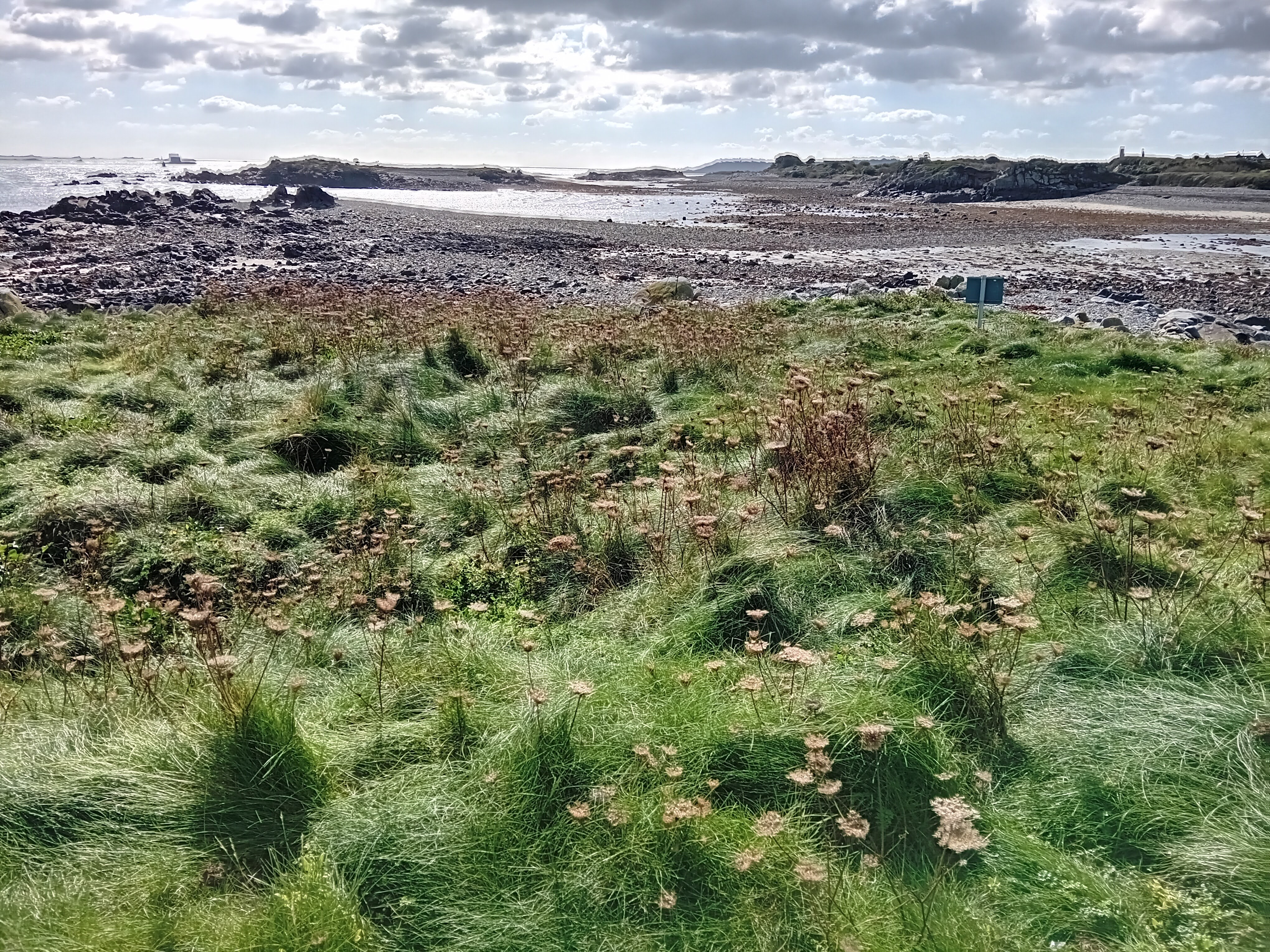
Friday 23 August 2024

Island 516 - Sunk Island, East Yorkshire

Sunk Island is located on the north bank of the Humber estuary and 2 miles to the south of the village of Otteringham in East Yorkshire. It is owned by the Crown Estate.

Sunk Island started life as a sand bank, which appeared in the late 16th century.   By the mid 17th century the sandbank was 7 acres in size.  It was claimed as crown property and leased to Colonel Anthony Gilby, who died in 1682.  He started the process of reclaiming it from the sea.  His descendants continued the process of embanking and draining and by 1850 the island had an area of 5000 acres. The current area of Sunk Island is 4,575 hectares (11,305 acres).  Nowhere on Sunk Island is more than 4 metres above sea level.

Sunk Island is no longer a true island.  Until the late 17th century it was separated from the mainland of East Yorkshire by the North Channel. Then the western end of the North Channel silted up and the lack of flowing water caused the North Channel to silt up even more.  The Winestead Drain is a river, which has its source near Withernsea and flows into the North Channel a mile to the west of Patrington Haven.  In 1819 the Winestead Internal Drainage Board installed a sluice on the North Channel and the eastern part of the North Channel was renamed the Winestead Drain.

At the time of the 2021 census the population of Sunk Island was 221.  The houses and farms are scattered around the island.  Many of the cottage and farmhouses were designed by the architect Samuel Sanders Teulon and were built 1855-57.  The land is almost all in use for growing arable crops. 

The Church of the Holy Trinity is located in the middle of the island and adjacent to the old school, postbox and telephone box.  The red brick church was built 1876-7 by Ewan Christian.  It was declared redundant c1983 and is now used as a heritage centre.

In 1908 Stanley Duncan (1878-1954) founded the Wildfowlers Association of Great Britain and Ireland (WAGBI) at the "Black Hut, which was located close to Outstray Farm at the east end of Sunk Island by Winestead Drain.  In 1981 WAGBI became the British Association for Sport and Conservation (BASC).  In 1994 a monument to Stanley Duncan was erected at the end of the public road next to Outstray Farm by the Hull and East Riding Wildfowlers Association and the Holderness and Humber Wildfowlers Association.

There is a Greenwich meridian marker located on the sea wall just over half a mile south of Outstray Farm. It was erected in 1984, but was moved 130 metres north when the sea wall was realigned in 2006 to create a 54 hectare intertidal wildlife site to compensate for the loss of habitats, due to the increase in size of the ports of Hull and Immingham.

There is a Ground Control Interception (GCI) radar station on the opposite side of the road to Bleak House Farm Cottages half a mile south west of Patrington Haven.  This was built as part of RAF Patrington during the Second World War (c1942) to detect, locate and track enemy aircraft.  It has a stand-by set house and a large operations block, which was known as the Happidrome. The domestic accommodation for RAF Patrington was at Patrington Haven on the north side of Winestead Drain.  The radar station was in use until 1955.

Sunk Island sign

Church of the Holy Trinity

War Memorial, Telephone Box and Postbox

Signpost

Giant gecko on house

Houses on Village Road

1855 - date above the door of a cottage

Typical Sunk Island view of arable fields

Gate to nowhere

WAGBI Monument at Outstray Farm

WAGBI logo on monument

Old Radar Station close to Bleak House Farm Cottages

Tuesday 28 May 2024

Island 515 - Packing Shed Marsh Island, West Mersea, Essex

Packing Shed Marsh Island is a small island of shingle and shells sandwiched between Cobmarsh Island and Sunken Island half a mile south west of the town of West Mersea on Mersea Island.  The Mersea Fleet flows to the east of the island and the Thorn Fleet flows to the west.  The island is 300 metres long at low tide and at high tide most of the shingle is covered with water. The remains of oyster pits can still be seen in the middle of the island.  These provide nesting sites for herring gulls and oystercatchers.

In the late 19th century huge quantities of oysters were sent from Mersea Island to Billingsgate Fish Market in London in barrels on Thames barges. They were also exported to Europe.  The Packing Shed was built on the island, which later became known as Packing Marsh Island, by the Tollesbury & Mersea Native Oyster Fishery Company Limited c1890.  It was used for cleaning, grading and packing the oysters, which had been dredged up from the local oyster beds.  The island was owned by Willoughby John Bean, who also owned much of West Mersea, from 1887 until 1891 when he sold it to Albert Barker.  Barker sold it on to the Tollesbury & Mersea Native Oyster Fishery Company Limited in 1914.

The original Packing Shed was blown away in a storm in the 1890s but a replacement was built in 1897.  This shed was used continuously, apart from during the Second World War, until the late 1950s when the oyster industry collapsed, due to diseased oysters.  An additional smaller shed was built to the north of the main Packing Shed in 1912, but it was destroyed during storms and floods in March 1949.  

After the 1950s the Packing Shed was used occasionally by the Tollesbury & Mersea Native Oyster Fishery Company Limited for storing fishing gear, but it gradually fell into a derelict state. By the end of the 1980s all that remained of the Packing Shed was part of the roof and some wooden wall cladding.  It was further damaged by two storms in September 1990.  It was then restored by a group of local volunteers and it reopened to visitors in 1992.  The island and the Packing Shed still belong to the Tollesbury & Mersea Native Oyster Fishery Company Limited but they now lease it to the Packing Shed Trust.

In the inter-war period American slipper limpets were competing for food with the oysters and so tons of limpets were dredged out of the oyster beds and dumped on the island, which helped to stabilise it.  However, storms in 1987 and 1997 moved some of them and the island is gradually eroding away.

The Packing Shed Trust holds open days once a month during the summer and on those days they run a ferry service to and from the island from the hammerhead quay at West Mersea.  A cream tea is included in the price of the trip, which in 2024 was £8.

Packing Shed

Packing Shed

Shingle beach

Inside the Packing Shed

Seating outside the Packing Shed for cream tea eaters with West Mersea in the background

Remains of the oyster pits and nesting herring gulls

Cream tea on Packing Shed Marsh Island

Ferry