Monday, 13 October 2014

Island 254 - Eilean nan Gamhainn, Plockton, Highland

Eilean nan Gamhainn, which means "cattle island" in Gaelic, is a small tidal island located about 100 metres from the delightful picturesque village of Plockton at the mouth of Loch Carron.   This was my first visit to Plockton and I don't know why I have waited so long because it is a truly lovely setting on a sheltered harbour.  The village was used for the filming of the TV series Hamish Macbeth and for some scenes of the film The Wicker Man.  The only thing lacking is a cafĂ©.  There is a restaurant on Harbour Street that served coffee but it looked a bit too posh for a slightly dishevelled island collector.

I wasn't sure for how long Eilean nan Gamhainn was accessible either side of low tide, so I arrived at low tide, even though that was at 8.30am and I had been staying at Ratagan Youth Hostel, which was about 40 minutes drive away.  I could have stayed in bed much later I realised later in the day, as the island was still accessible over 2.5 hours after low tide.  It is a short walk across seaweed and firm mud.

The island has 3 picnic benches in various states of decay and there are a couple of different paths round one side and across the middle.  The island is covered in small trees, e.g. birch, oak, hawthorn and holly; gorse; blackberry bushes; heather; bilberry bushes and wildflowers such as honeysuckle, wild roses and devil's bit scabious.

After visiting Eilean nan Gamhainn I set off to see if a couple of other islands half a mile to the north of Plockton, which I had spotted on the Explorer map, were accessible at low tide.  The 2 islands An Garbh-eilean and Eilean an Duine both belong to the National Trust for Scotland, who also own all the other small islands between Plockton and the Kyle of Lochalsh.   However although a footpath around the headland was clearly shown on a leaflet about Plockton that I had picked up the day before, I couldn't work out how to access it.  I walked up and down the road 3 times before I eventually realised that you have to walk through a gateway clearly marked as Private before you get to the start of the path.  The path is a permissive one created I think by the owner of the house (Rubha Mor) in the middle of it.  They welcome financial donations, which go to local charities and the path is well made and very scenic.  About halfway round I found a smaller path down to the beach.  However, having spent 40 minutes trying to find the path, by this time it was over an hour after low tide and although the 2 islands were still clearly linked by a beach to each other neither of them were accessible on foot from the mainland and I doubt whether they would have been even at low tide on the day I visited, as it was almost a neap tide.  They are shown as being tidal on the Ordnance Survey map but perhaps the area between them and the mainland only clears at low spring tides.

East side of Eilean nan Gamhainn looking towards Sgeir Bhuidhe
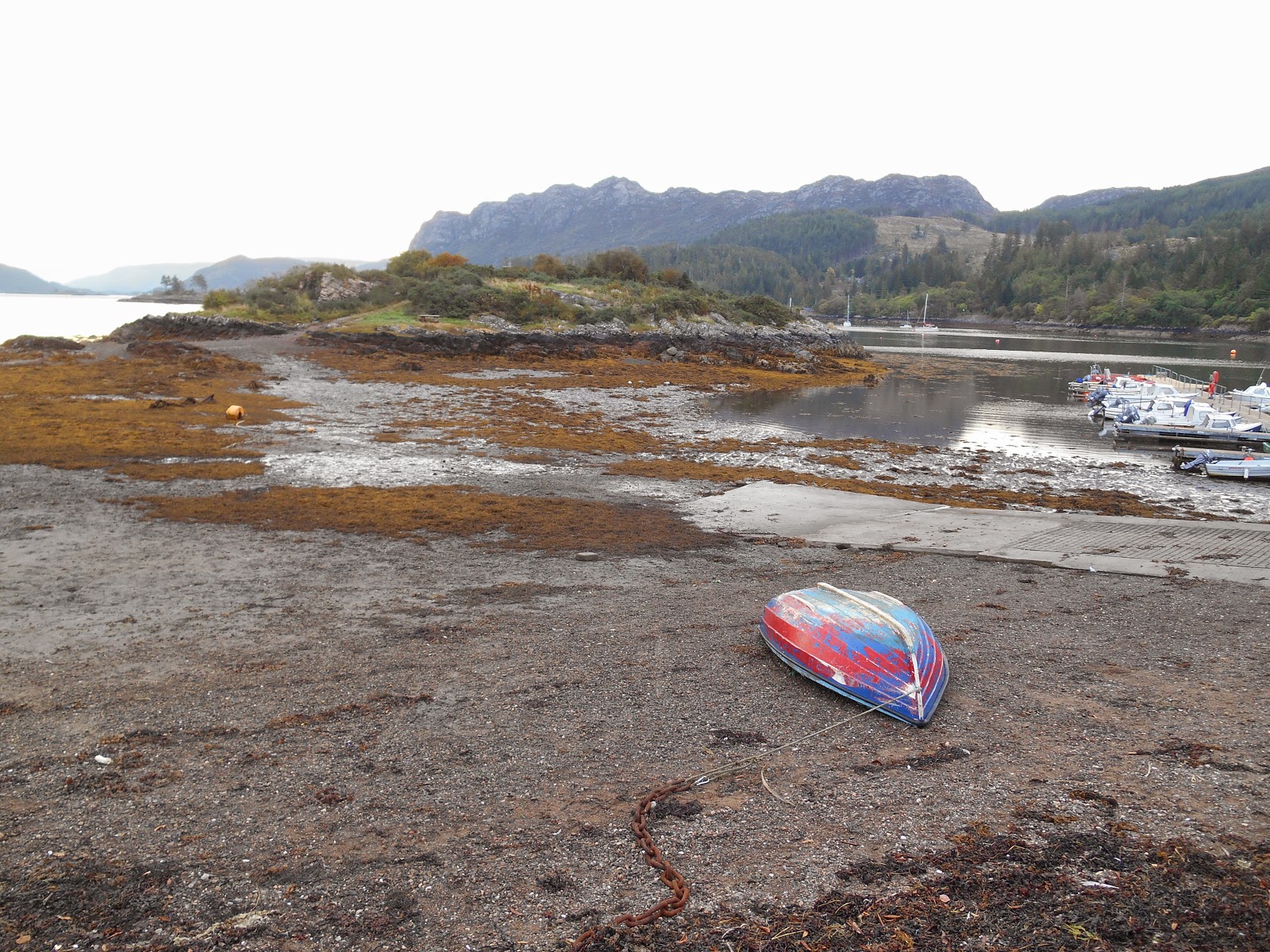
 Eilean nan Gamhainn at low tide


The sun has come out and the tide is advancing rapidly

Eilean nan Gamhainn from The Brae, Plockton

 Plockton from Eilean nan Gamhainn

 Plockton from Eilean nan Gamhainn

Thursday, 9 October 2014

Island 253 - Sheep Island, Dornie, Highland

Sheep Island is a small tidal island located 150 metres off the south east shore of the surprisingly short Loch Long, half a mile to the north east of the delightful village of Dornie and close to the hamlet of Carndu.

All the attention in this part of the world goes to the very photogenic Eilean Donan half a mile to the south of Dornie.  There is also an Eilean Tioram half a mile south west of Dornie.  Eilean Tioram means Dry Island but the evening I visited it was a neap tide and the 400 metre gap between Ardelve Point and the island didn't look dry to me even at low tide.  Maybe it dries out when the tides are lower.

Anyway, back to Sheep Island, which I did visit.  It is treeless and mainly covered in grass.  There was no sign that it had been grazed by sheep or any other animals recently.  There were a few wild flowers - Michaelmas daisies, devil's bit scabious (this lovely powder blue flower was present on virtually all the 30 islands I visited in September 2014), tormentil, sea mayweed and thrift.  There is a tumbledown dry stone wall around part of the island and a satellite dish in the middle of it.


 Carndu from Sheep Island

 I'm not sure what this satellite dish is doing on Sheep Island or to whom it belongs.  Maybe all the surrounding mountains interfere with the signal and this is the best place to locate it?

Looking up Loch Long from Sheep Island

Island 252 - Am Froach Eilean, Shiel Bridge, Highland

Am Fraoch Eilean is a small unremarkable tidal island but it is pleasant and easily accessed located at the south east end of Loch Duich a mile north of Shiel Bridge and below the Five Sisters of Kintail mountains. There is a handy car park about 300 metres away from the island and the hardest part about getting to the island was crossing the very boggy (even after a dry summer) land between the car park and the beach.

Am Fraoch Eilean is separated from the mainland by about 50 metres of easily traversed seaweed covered gravel.  The island is mainly covered by grass, bracken, gorse, thrift, sea mayweed, devil's bit scabious with some areas of exposed rocks covered in a variety of lichens, including a bright orange one.  There are also half a dozen small rowan trees growing on it.  A lone seal was swimming around the island during my brief visit.


Am Fraoch Eilean

 Am Fraoch Eilean
Am Fraoch Eilean
 Am Fraoch Eilean

Island 251 - Eilean Mor, Fort William, Scotland

Eilean Mor, which means Big Island in Gaelic, is located at the point where the River Lochy meets the tidal Loch Linnhe between Inverlochy, near Fort William and the village of Lochyside, which adjoins the village of Caol.  On the Ordnance Survey Landranger and Explorer maps it doesn't look to be accessible on foot but Peter Caton says he crossed to it from Lochyside in his book No Boat Required: Exploring Tidal Islands.  However it wasn't very clear from his description exactly where he had crossed.

After walking out to An Caol I spent a while doing some research for the following day.  After walking up and down Kilmallie Road and standing on the nearby Soldier's Bridge (a pedestrian bridge which links Lochyside to Inverlochy), I eventually spotted a little path that headed down the steep bank and onto the riverbed.  Should anyone need to know, the path is almost opposite the entrance to Castle Drive.

The following morning, not wanting to try crossing to Eilean Mor on a rising tide, I spent the morning geocaching in Fort William and then visiting Glenfinnan to admire the viaduct, discovered a wonderful rose stained glass window in the church and ate lunch in an old railway carriage.  I then drove back to Lochyside a couple of hours after high tide and within a few minutes I had crossed a dry river bed of large rounded pebble and found a faint path up a bank and onto Eilean Mor.

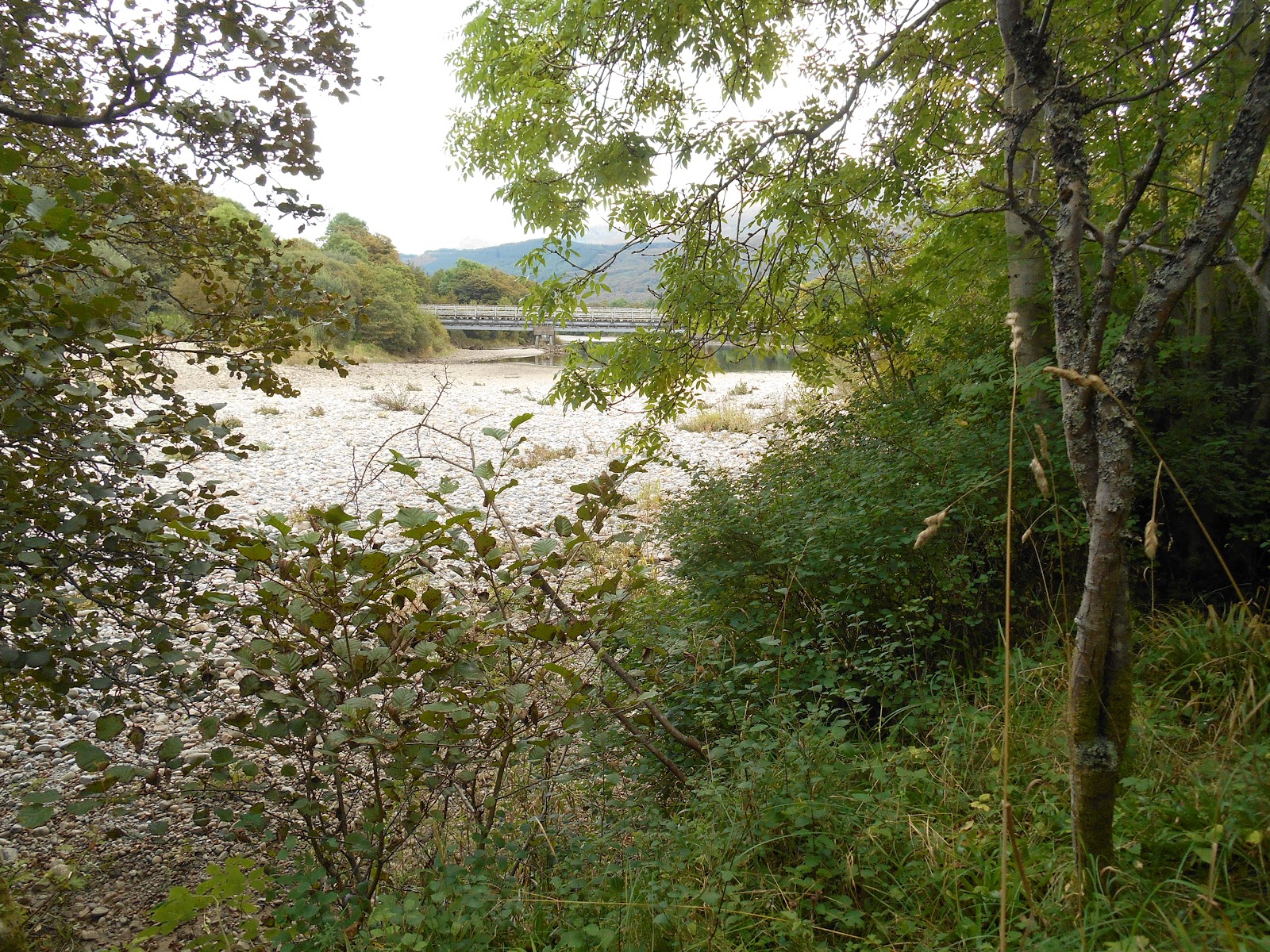
In some places it looked like the morning's high tide had covered the river bed.  However the day I visited in mid September 2014 the tide wasn't a very high one and I think I could probably have crossed to Eilean Mor even at high tide.  My conclusion is that Eilean Mor would only be inaccessible at high spring tides and/or when the River Lochy is in spate, as I think the channel between Lochyside and Eilean Mor would act as an overflow channel for the river.

The part of Eilean Mor that I visited was covered with mature trees - sycamore, ash, beech, hawthorn, rowan, alder, holly and silver birch.  There were also wild flowers such as dogs' mercury and scabious plus bracken and gorse.  More worryingly there was also a lot of what looked to me like the very invasive Japanese knotweed.  I don't know who owns or manages Eilean Mor but if they don't act soon the Japanese knotweed will have taken over the whole island in a few years.

I also visited a separate smaller long thin and unnamed island on the east side of Eilean Mor.  It is separated from Eilean Mor by another dry pebbly river bed.  It had a few trees growing on it - alder and birch - but was mainly covered with broom, thistles, brambles (delicious blackberries) and gorse.

Having studied several old large scale Ordnance Survey maps online, it is clear that the shape and the location of the river channel has altered considerably over the last 50 years or so.

 Eilean Mor from the unnamed island.  
Looking east towards the Soldier's Bridge

 Ben Nevis from Eilean Mor

 Soldier's Bridge from Eilean Mor

 Eilean Mor looking towards Ben Nevis

 Unnamed island

 River Lochy from the unnamed island

Wednesday, 8 October 2014

Island 250 - An Caol, Fort William, Highland, Scotland

An Caol is a sinuous snake shaped island, that is really not much more than a shinge ridge.  It is located  to the south west of the village of Caol near Fort William where Loch Linnhe becomes Loch Eil and is accessible at low tide.  It is so flat that, were it not for the presence of a few trees at the northern end, it would be almost invisible from the mainland at high or low tide.

The Ordnance Survey map show the area between the island and Caol as sand but it looked more like mud to me.  I was very dubious about how accessible it was and probably wouldn't even have attempted to walk to it were it not for Peter Caton's book No Boat Required: Exploring Tidal Islands.  He says he walked to it without any problem, so having left my car outside a house near the children's playground on the seafront, I set off.  The area nearest the mainland is salt marsh, which wasn't as easy to negotiate as you might think, as the grass is very long, so you can't see where the small but deep muddy channels are.  I found it easier to stick to the shoreline.  The island still looked a long way off across the mudflats but after testing the mud it seemed solid enough, so I set off.  I reached the island without a problem.  There isn't really a great deal to see on it.  There is a small wrecked boat at the northern end near the trees.

Apparently the island used to be much bigger and it belongs to the former Liberal Democrat Leader Charles Kennedy's family.

 Looking north from the centre of An Caol

 Looking east towards Ben Nevis (hidden in the clouds as usual) from the centre of An Caol

 Lots of flotsam and jetsam

Looking north east towards Caol
 - the wrecked boat is just visible at the northern end of the island

An Caol - looking south towards Fort William

An Caol at high tide looking south down Loch Linnhe
  The island is almost invisible apart from the trees sticking up

Island 249 - Eilean Buidhe, Craobh Haven, Argyll

Eilean Buidhe has formed part of the eastern side of the harbour at Craobh Haven since 1983 when a stone causeway was built out to it.  It is more wooded than the 2 islands on the other side of the harbour.  There is a house on the island and 3 self-catering log built lodges known as Loch Shuna Lodges.  The owner of the house and the lodges is Mr Falcon Scott, grandson of Captain Robert Falcon Scott of Antarctica.

The causeway is wider than the ones out to Fraoch Eilean and Eilean an Duin and it is wide enough to drive along.  The island is about 300 metres long by 200 metres wide.

 Craobh Haven from Eilean Buidhe


Eilean Buidhe from the end of the breakwater at the western end of the island

Eilean Buidhe from Craobh Haven

Island 248 - Eilean an Duin, Craobh Haven, Argyll

Eilean an Duin has been joined to the mainland at Craobh Haven since 1983 via the smaller island of Fraoch Eilean by a stone causeway.  Its name in Gaelic means "island of the fort" and an iron age fort is still marked at the highest point on the island, which is 23 metres above sea level.  The northern part of it was destroyed when they built the causeways.  The north side of the island looks like it has been quarried, presumably for stone to build the causeways.  The island is about 300 metres long by 150 metres wide.

Eilean an Duin is covered in scrubby trees - mainly silver birch, rowan and alder - bracken, brambles and wild flowers such as rosebay willowherb, scabious and heather.  There is one clear path running along the length of the island right to end of the breakwater, which has been built out to the east of the island.


Craobh Haven Harbour from Eilean an Duin
Remains of the Fort at Eilean an Duin

 Fraoch Eilean from Eilean an Duin

Island 247 - Fraoch Eilean, Craobh Haven, Argyll

Craobh Haven village and harbour were built in 1983.  The harbour was constructed by linking  2 islands (Fraoch Eilean and Eilean an Duin) on the west side and one (Eilean Buidhe) on the east side with the mainland by stone causeways.

It wasn't clear from the OS map how accessible the islands on the west side would be but I followed a track past all the houses, which turned into a narrow muddy (even after a dry summer) footpath through a small wood and eventually out onto the first causeway leading to Fraoch Eilean.  The path was well trodden and dog waste bins are provided at the landward end, so I presume it is a popular local path.


Causeway to Fraoch Eilean
 Fraoch Eilean

 Craobh Haven from Fraoch Eilean

 These rocks on the western side of Fraoch Eilean look like they have been worn smooth by a passing glacier at some point in the past

Island 246 - Eilean Traighte, Ardfern, Argyll

Eilean Traighte has recently become the new home of the Craignish Boat Club.  It was formerly a tidal island.  The island is located a mile to the north west of the village of Ardfern.  It is about 150 metres long by 50 metres wide.

I think there has been a causeway to it for some time but it has recently been improved, so that it is now always above high tide level.  The gate by the road was securely locked but there was no notice saying that you couldn't walk across to it, so I did.  There was no one around when I visited on a Monday afternoon in mid September 2014.

The island has several full grown trees - mainly sycamore, ash, alder, silver birch and rowan.  There are also bracken, brambles and wild flowers such as foxgloves, rosebay willowherb, scabious and sea mayweed.

The centre of the island was cleared to make way for the boat club's sheds and racks and a small slipway was built on the east side of the island.  There is a private car park on the mainland.


Causeway to Eilean Traighte


Slipway


Eilean Traighte from the Causeway


New boatsheds on Eilean Traighte - all securely locked

Tuesday, 7 October 2014

Island 245 - Danna, Tayvallich, Argyll

Danna is located down a very long (12 miles) dead end single track road with passing places on the west coast of Argyll.  It is located at the southern end of the Tayvallich peninsula, which separates Loch Sween from the Sound of Jura.   The nearest village is Tayvallich, which is a delightful place with a sheltered harbour and a lovely cafĂ© with a view over the harbour.  

Danna is roughly rectangular in shape and is about 2 miles from north to south and 1.5 miles from east to west.  The highest point on the island is 52 metres above sea level.   The public road ends just beyond the manmade stone causeway, which I understand floods only a few times a year when there are exceptionally high spring tides.  The causeway is only about 40 metres long and before it was built I would imagine that the island would have been accessible on foot at low tide.  There is a handy parking place at the end of the road.  The road becomes a rough track and you cannot drive any further.  There is a gate with a notice telling you this.  It says “walkers only”, which I took as an invitation to visit.  
 
The island, which is part of the Ulva, Danna and the McCormaig Isles Site of Special Scientific Interest, is divided into large fields and is grazed by sheep and there is an area of coniferous woodland in the middle of it.  The grazing didn’t look the best quality but there is plenty of it, along with a lot of bracken. There are also a few native trees – ash and birch mainly – and wildflowers such as scabious, thistles and wild strawberries.  There were also plenty of blackberries when I visited in mid September 2014. There are 3 houses/farms marked on the map.  I walked to beyond the first one you come to – New Danna but did not walk right down to the south coast, although it looks from the map that there might be 2 tidal islands that could be visited – Eilean nan Uan and Eilean a Chapuill.
 
After visiting Danna I made a short detour to Keills on the opposite side of the inlet Loch na Cille to visit the chapel there.  The chapel itself is unremarkable but inside there is a large collection of beautifully carved ancient tombstones – well worth a visit, although there is only enough parking for about 4 or 5 cars.

 
Causeway at low tide looking north towards the mainland

Unnamed house at Port nan Gallan on the north west coast

Eventually rusty old farm implements become art!

Middle of Danna showing the coniferous plantation and the house at Mid Danna

Track on Danna looking north towards the mainland and Loch na Cille

Keills Chapel looking towards Danna

 Ruined house near Port nan Gallan

 Farm buildings at New Danna

 This is far as you can drive