After walking out to An Caol I spent a while doing some research for the following day. After walking up and down Kilmallie Road and standing on the nearby Soldier's Bridge (a pedestrian bridge which links Lochyside to Inverlochy), I eventually spotted a little path that headed down the steep bank and onto the riverbed. Should anyone need to know, the path is almost opposite the entrance to Castle Drive.
The following morning, not wanting to try crossing to Eilean Mor on a rising tide, I spent the morning geocaching in Fort William and then visiting Glenfinnan to admire the viaduct, discovered a wonderful rose stained glass window in the church and ate lunch in an old railway carriage. I then drove back to Lochyside a couple of hours after high tide and within a few minutes I had crossed a dry river bed of large rounded pebble and found a faint path up a bank and onto Eilean Mor.
In some places it looked like the morning's high tide had covered the river bed. However the day I visited in mid September 2014 the tide wasn't a very high one and I think I could probably have crossed to Eilean Mor even at high tide. My conclusion is that Eilean Mor would only be inaccessible at high spring tides and/or when the River Lochy is in spate, as I think the channel between Lochyside and Eilean Mor would act as an overflow channel for the river.
The part of Eilean Mor that I visited was covered with mature trees - sycamore, ash, beech, hawthorn, rowan, alder, holly and silver birch. There were also wild flowers such as dogs' mercury and scabious plus bracken and gorse. More worryingly there was also a lot of what looked to me like the very invasive Japanese knotweed. I don't know who owns or manages Eilean Mor but if they don't act soon the Japanese knotweed will have taken over the whole island in a few years.
I also visited a separate smaller long thin and unnamed island on the east side of Eilean Mor. It is separated from Eilean Mor by another dry pebbly river bed. It had a few trees growing on it - alder and birch - but was mainly covered with broom, thistles, brambles (delicious blackberries) and gorse.
Having studied several old large scale Ordnance Survey maps online, it is clear that the shape and the location of the river channel has altered considerably over the last 50 years or so.

Eilean Mor from the unnamed island.
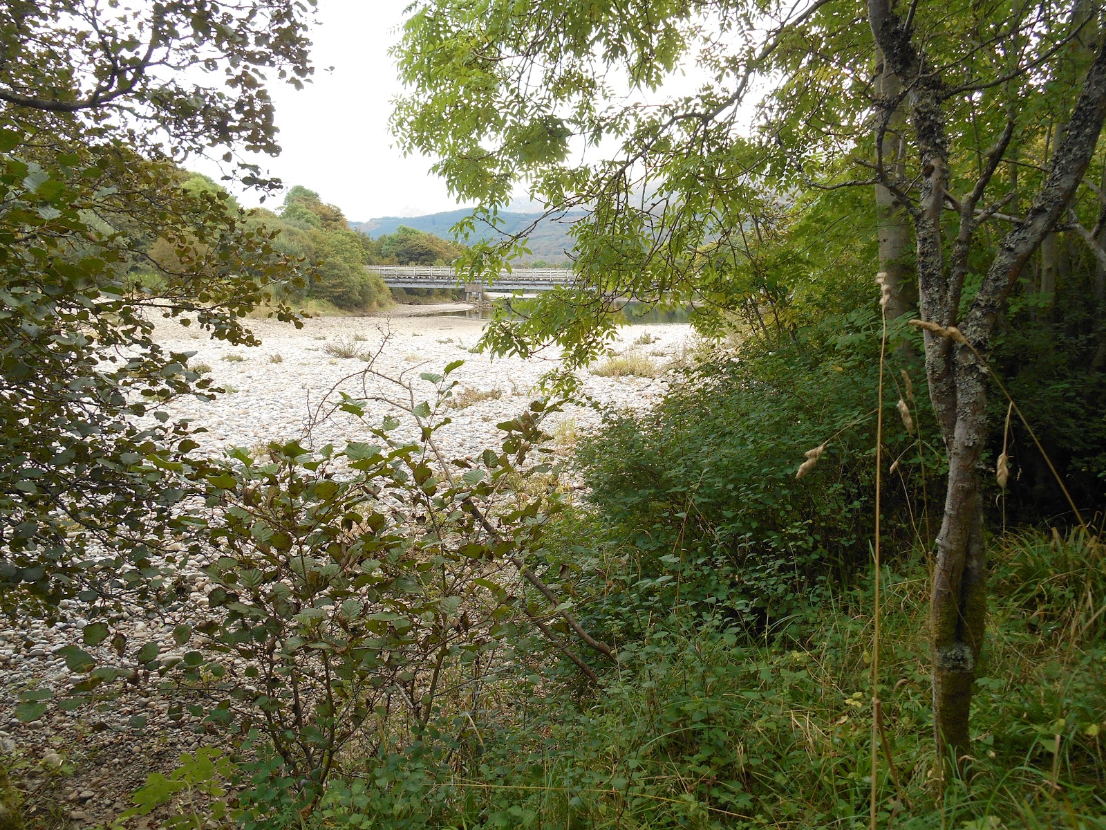
Looking east towards the Soldier's Bridge

Ben Nevis from Eilean Mor
Soldier's Bridge from Eilean Mor

Eilean Mor looking towards Ben Nevis

Unnamed island

River Lochy from the unnamed island
Growing up in Caol the unknown island you mentioned was known as lupin island
ReplyDelete