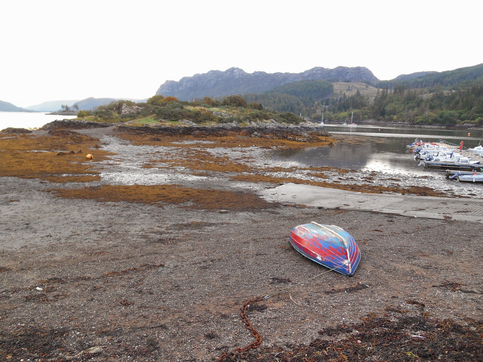
I wasn't sure for how long Eilean nan Gamhainn was accessible either side of low tide, so I arrived at low tide, even though that was at 8.30am and I had been staying at Ratagan Youth Hostel, which was about 40 minutes drive away. I could have stayed in bed much later I realised later in the day, as the island was still accessible over 2.5 hours after low tide. It is a short walk across seaweed and firm mud.
The island has 3 picnic benches in various states of decay and there are a couple of different paths round one side and across the middle. The island is covered in small trees, e.g. birch, oak, hawthorn and holly; gorse; blackberry bushes; heather; bilberry bushes and wildflowers such as honeysuckle, wild roses and devil's bit scabious.
After visiting Eilean nan Gamhainn I set off to see if a couple of other islands half a mile to the north of Plockton, which I had spotted on the Explorer map, were accessible at low tide. The 2 islands An Garbh-eilean and Eilean an Duine both belong to the National Trust for Scotland, who also own all the other small islands between Plockton and the Kyle of Lochalsh. However although a footpath around the headland was clearly shown on a leaflet about Plockton that I had picked up the day before, I couldn't work out how to access it. I walked up and down the road 3 times before I eventually realised that you have to walk through a gateway clearly marked as Private before you get to the start of the path. The path is a permissive one created I think by the owner of the house (Rubha Mor) in the middle of it. They welcome financial donations, which go to local charities and the path is well made and very scenic. About halfway round I found a smaller path down to the beach. However, having spent 40 minutes trying to find the path, by this time it was over an hour after low tide and although the 2 islands were still clearly linked by a beach to each other neither of them were accessible on foot from the mainland and I doubt whether they would have been even at low tide on the day I visited, as it was almost a neap tide. They are shown as being tidal on the Ordnance Survey map but perhaps the area between them and the mainland only clears at low spring tides.

East side of Eilean nan Gamhainn looking towards Sgeir Bhuidhe
Eilean nan Gamhainn at low tide

The sun has come out and the tide is advancing rapidly

Eilean nan Gamhainn from The Brae, Plockton
 Plockton from Eilean nan Gamhainn
 Plockton from Eilean nan Gamhainn


No comments:
Post a Comment